


Provide the Unmanned Aircraft Vehicles (UAV) for the aerial mapping system training to officers of the Royal Irrigation Department at Singburi.
On September 25–26, 2023, our Surveying Instruments Division provided the Unmanned Aircraft Vehicles (UAV) for the aerial mapping system training to officers of the Royal Irrigation Department at Singburi.
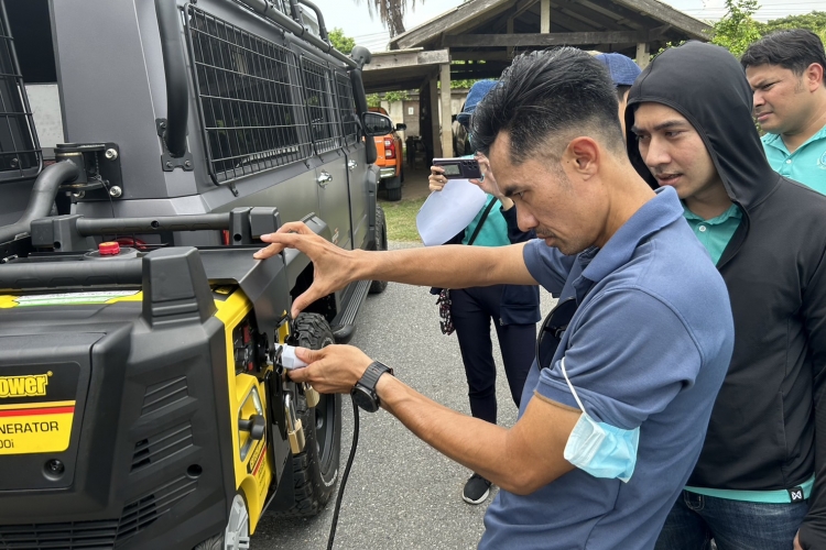
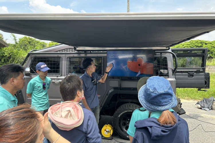
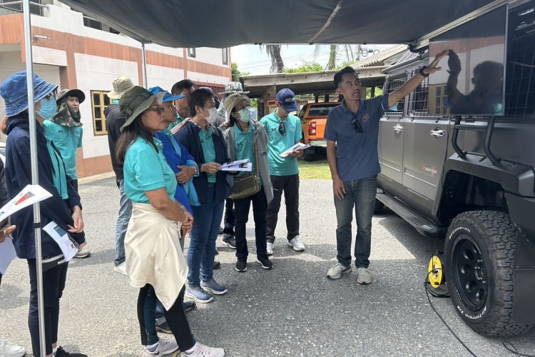
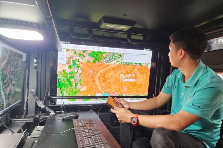
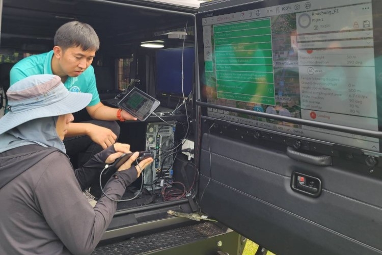
The training starts with the introduction of a functional 4WD SUV with a modified operation center inside the car. There is a powerful workstation that allows users to process the high-quality aerial images from WingtraOne Gen II, and there is also a detachable monitor that can be mounted inside and on the rack beside the car. Over the mounted monitor, there is a foldable canvas roof for users to be able to view and operate after the orthophoto is done (on-site operation).
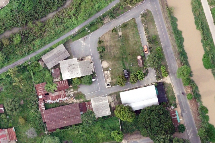
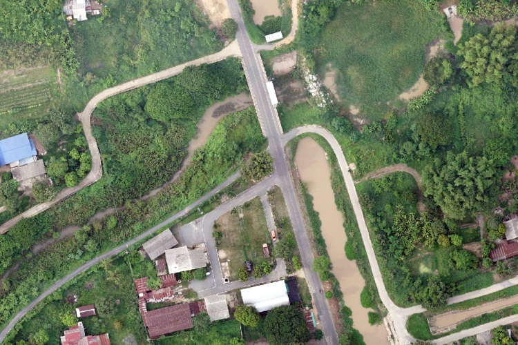
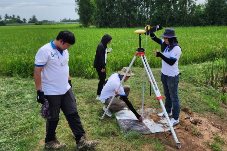
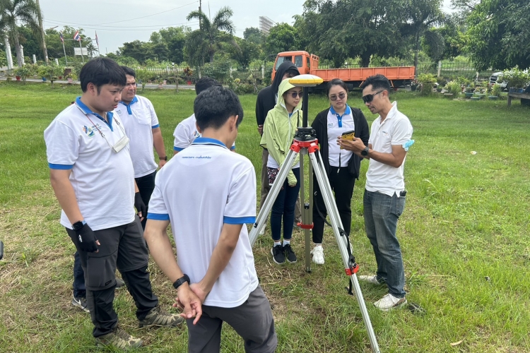
In the fixed-wing VTOL UAV, WingtraOne Gen II training session Our instructor and trainees defined where they would like to do the aerial mapping and marked the ground control points. We used Trimble R4s GNSS to collect the high-accuracy position on the GCP in order to use them to process the aerial images, which is called the post-processed kinematic solution.
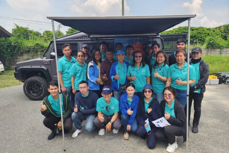
Before launching the WingtraOne Gen II, our instructor explained the system components and accessories, maintenance, and doing the checklist following the instructions on the WingtraPilot software for safety and effective flight. At the end of the training, the instructor concluded the whole process and suggested additional information that would be useful for their future tasks. We also took the group photo to memorialize this impressive training.
The training starts with the introduction of a functional 4WD SUV with a modified operation center inside the car. There is a powerful workstation that allows users to process the high-quality aerial images from WingtraOne Gen II, and there is also a detachable monitor that can be mounted inside and on the rack beside the car. Over the mounted monitor, there is a foldable canvas roof for users to be able to view and operate after the orthophoto is done (on-site operation).
In the fixed-wing VTOL UAV, WingtraOne Gen II training session Our instructor and trainees defined where they would like to do the aerial mapping and marked the ground control points. We used Trimble R4s GNSS to collect the high-accuracy position on the GCP in order to use them to process the aerial images, which is called the post-processed kinematic solution.
Before launching the WingtraOne Gen II, our instructor explained the system components and accessories, maintenance, and doing the checklist following the instructions on the WingtraPilot software for safety and effective flight. At the end of the training, the instructor concluded the whole process and suggested additional information that would be useful for their future tasks. We also took the group photo to memorialize this impressive training.